- Retrait gratuit dans votre magasin Club
- 7.000.000 titres dans notre catalogue
- Payer en toute sécurité
- Toujours un magasin près de chez vous
- Retrait gratuit dans votre magasin Club
- 7.000.0000 titres dans notre catalogue
- Payer en toute sécurité
- Toujours un magasin près de chez vous
Description
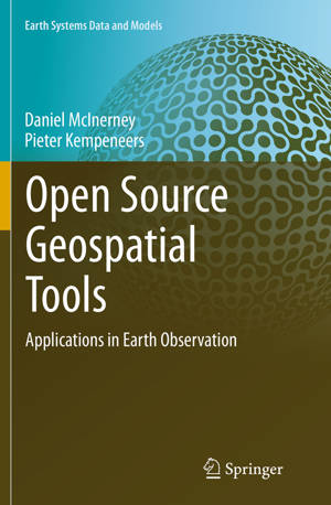
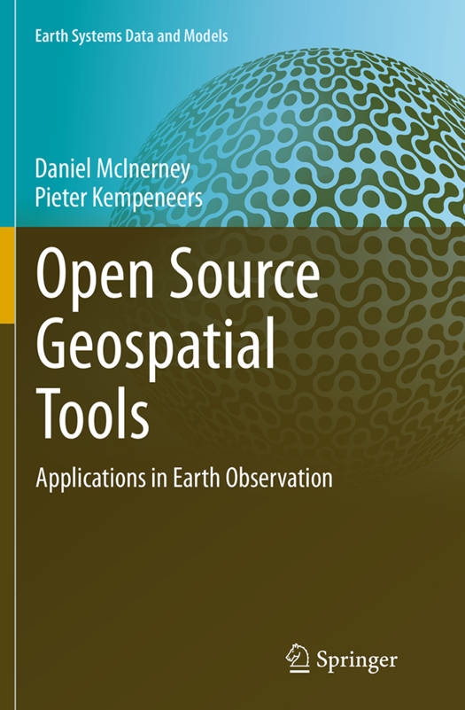
This book focuses on the use of open source software for geospatial analysis. It demonstrates the effectiveness of the command line interface for handling both vector, raster and 3D geospatial data. Appropriate open-source tools for data processing are clearly explained and discusses how they can be used to solve everyday tasks.
A series of fully worked case studies are presented including vector spatial analysis, remote sensing data analysis, landcover classification and LiDAR processing. A hands-on introduction to the application programming interface (API) of GDAL/OGR in Python/C++ is provided for readers who want to extend existing tools and/or develop their own software.
Spécifications
Parties prenantes
- Auteur(s) :
- Editeur:
Contenu
- Nombre de pages :
- 358
- Langue:
- Anglais
- Collection :
- Tome:
- n° 3
Caractéristiques
- EAN:
- 9783319346250
- Date de parution :
- 10-09-16
- Format:
- Livre broché
- Format numérique:
- Trade paperback (VS)
- Dimensions :
- 156 mm x 234 mm
- Poids :
- 544 g

Les avis
Nous publions uniquement les avis qui respectent les conditions requises. Consultez nos conditions pour les avis.


