- Retrait gratuit dans votre magasin Club
- 7.000.000 titres dans notre catalogue
- Payer en toute sécurité
- Toujours un magasin près de chez vous
- Retrait gratuit dans votre magasin Club
- 7.000.0000 titres dans notre catalogue
- Payer en toute sécurité
- Toujours un magasin près de chez vous
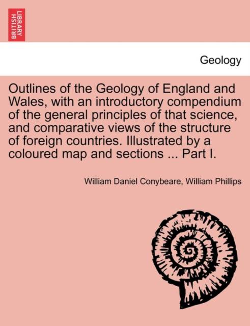
Outlines of the Geology of England and Wales, with an introductory compendium of the general principles of that science, and comparative views of the structure of foreign countries. Illustrated by a coloured map and sections ... Part I.
William Daniel Conybeare, William Phillips
Livre broché | Anglais
26,95 €
+ 53 points
Description
Title: Outlines of the Geology of England and Wales, with an introductory compendium of the general principles of that science, and comparative views of the structure of foreign countries. Illustrated by a coloured map and sections ... Part I.
Publisher: British Library, Historical Print Editions
The British Library is the national library of the United Kingdom. It is one of the world's largest research libraries holding over 150 million items in all known languages and formats: books, journals, newspapers, sound recordings, patents, maps, stamps, prints and much more. Its collections include around 14 million books, along with substantial additional collections of manuscripts and historical items dating back as far as 300 BC.
The GEOLOGY collection includes books from the British Library digitised by Microsoft. The works in this collection contain a number of maps, charts, and tables from the 16th to the 19th centuries documenting geological features of the natural world. Also contained are textbooks and early scientific studies that catalogue and chronicle the human stance toward water and land use. Readers will further enjoy early historical maps of rivers and shorelines demonstrating the artistry of journeymen, cartographers, and illustrators.
++++
The below data was compiled from various identification fields in the bibliographic record of this title. This data is provided as an additional tool in helping to insure edition identification:
++++
British Library
Conybeare, William Daniel; Phillips, William;
1822.
xli. 470 p.; 8°.
725.g.21.
Spécifications
Parties prenantes
- Auteur(s) :
- Editeur:
Contenu
- Nombre de pages :
- 566
- Langue:
- Anglais
Caractéristiques
- EAN:
- 9781241607906
- Date de parution :
- 19-04-11
- Format:
- Livre broché
- Format numérique:
- Trade paperback (VS)
- Dimensions :
- 189 mm x 246 mm
- Poids :
- 997 g

Les avis
Nous publions uniquement les avis qui respectent les conditions requises. Consultez nos conditions pour les avis.


