- Retrait gratuit dans votre magasin Club
- 7.000.000 titres dans notre catalogue
- Payer en toute sécurité
- Toujours un magasin près de chez vous
- Retrait gratuit dans votre magasin Club
- 7.000.0000 titres dans notre catalogue
- Payer en toute sécurité
- Toujours un magasin près de chez vous
Description
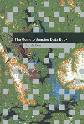
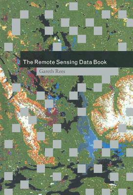
Remote sensing is used in some way by all earth and atmospheric scientists. This book provides a unique resource to all aspects of remote sensing for both the expert and nonexpert. Organized as a dictionary, it contains over 700 alphabetically-arranged and cross-referenced entries on how remote sensing works, what kinds of data are available, and the large number of satellites and instruments from which the information is obtained. As well as short technical definitions, the book also includes longer essays and reviews to give a complete overview of the subject. It will be essential for researchers and research managers at all levels using spaceborne remote sensing methods to obtain information about the earth's land, sea, ice and atmosphere. It will also serve as a valuable addition to existing textbooks for undergraduate and graduate students in geography, environmental and earth science courses that include an element of remote sensing.
Spécifications
Parties prenantes
- Auteur(s) :
- Editeur:
Contenu
- Nombre de pages :
- 278
- Langue:
- Anglais
Caractéristiques
- EAN:
- 9780521480406
- Date de parution :
- 13-06-99
- Format:
- Livre relié
- Format numérique:
- Genaaid
- Dimensions :
- 152 mm x 229 mm
- Poids :
- 576 g

Les avis
Nous publions uniquement les avis qui respectent les conditions requises. Consultez nos conditions pour les avis.


