
- Retrait gratuit dans votre magasin Club
- 7.000.000 titres dans notre catalogue
- Payer en toute sécurité
- Toujours un magasin près de chez vous
- Retrait gratuit dans votre magasin Club
- 7.000.0000 titres dans notre catalogue
- Payer en toute sécurité
- Toujours un magasin près de chez vous


Résultats pour "National Geographic Maps - Trails Illustrated"
-

Big Sur / Ventana Wilderness /CA
- National Geographic's Trails Illustrated map of Big Sur, Ventana Wilderness combines unmatched detail with helpful information to offer an invaluable ... Savoir plus
15,95 €Livraison 1 à 2 semaines15,95 €Livraison 1 à 2 semaines -
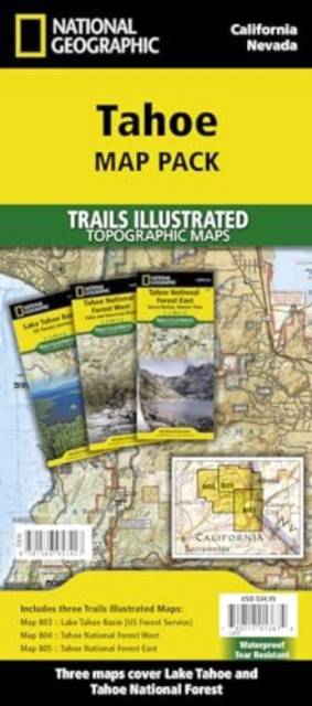
Tahoe [Map Pack Bundle]
- - Waterproof - Tear-Resistant - Topographic Maps Lake Tahoe is the sapphire jewel in the crown of the Sierra Nevada mountains. The lake's surface cove... Savoir plus
48,95 €Livraison 1 à 2 semaines48,95 €Livraison 1 à 2 semaines -
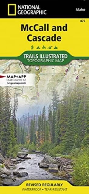
McCall and Lake Cascade
- - Waterproof - Tear-Resistant - Topographic Map Centered on Payette Lake and the resort town of McCall, the map covers the western half of Payette Nat... Savoir plus
22,95 €Livraison 1 à 2 semaines22,95 €Livraison 1 à 2 semaines -
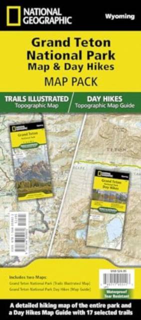
Grand Teton Day Hikes and National Park Map [Map Pack Bundle]
- - Waterproof - Tear-Resistant - Topographic Maps The Tetons evoke a sense of inspiration and aspiration in all who visit. Established in 1929, Grand T... Savoir plus
34,95 €Livraison 1 à 2 semaines34,95 €Livraison 1 à 2 semaines -
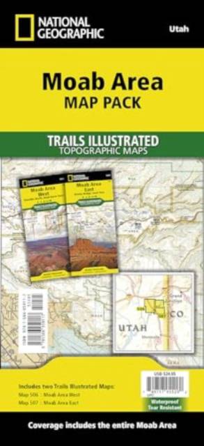
Moab Area [Map Pack Bundle]
- - Waterproof - Tear-Resistant - Topographic Maps A premier destination for mountain biking, hiking, whitewater rafting, four-wheeling, and more, Moab ... Savoir plus
34,95 €Livraison 1 à 2 semaines34,95 €Livraison 1 à 2 semaines -
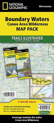
Boundary Waters Canoe Area Wilderness [Map Pack Bundle]
- - Waterproof - Tear-Resistant - Topographic Maps The Boundary Waters was recognized for recreational opportunities in 1926, named the Superior Roadles... Savoir plus
36,45 €Livraison 1 à 4 semaines36,45 €Livraison 1 à 4 semaines -

Sequoia & Kings Canyon NP /CA
- In Sequioa and Kings Canyon National Parks you can walk among the world's largest trees, hike the alpine landscape of the Sierra Crest, and marvel at ... Savoir plus
15,95 €Livraison 1 à 2 semaines15,95 €Livraison 1 à 2 semaines -
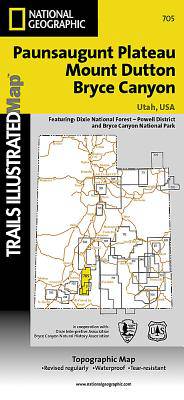
Mount Dutton - Aquarius Plateau /UT
- This map covers the spectacularly scenic stretch in southern Utah of the Powell and Escalante Ranger Districts of Dixie National Forest—from Bicknell ... Savoir plus
15,95 €Livraison 1 à 2 semaines15,95 €Livraison 1 à 2 semaines -
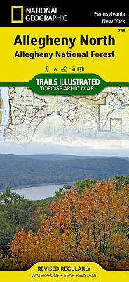
Allegheny North (Allegheny Nat. Forest) /PA
- National Geographic's Trails Illustrated map of Allegheny North delivers unmatched detail and valuable information to assist you in your exploration o... Savoir plus
15,95 €Livraison 1 à 2 semaines15,95 €Livraison 1 à 2 semaines -
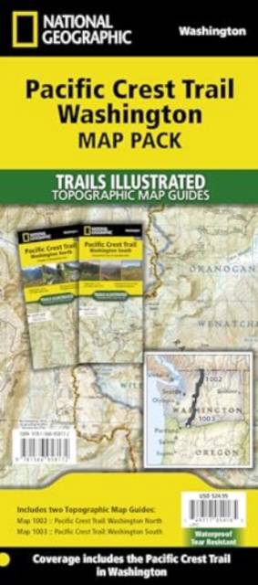
Pacific Crest Trail: Washington [Map Pack Bundle]
- - Waterproof - Tear-Resistant - Topographic Maps The Pacific Crest Trail (PCT) Map Pack Bundle of Washington includes two Topographic Map Guides that ... Savoir plus
34,95 €Livraison 1 à 2 semaines34,95 €Livraison 1 à 2 semaines -

Jasper North - Jasper NP
- The largest park in the Canadian Rockies, Jasper National Park is a UNESCO World Heritage Site with breathtaking mountain scenery and bountiful recrea... Savoir plus
15,95 €Livraison 1 à 2 semaines15,95 €Livraison 1 à 2 semaines -
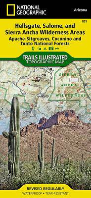
Hellsgate, Salome, Sierra Ancha Wilderness Areas /AZ
- One of the largest national forests in the United States, Tonto National Forest is known not only for its diversity of terrain, flora and fauna but al... Savoir plus
15,95 €Livraison 1 à 2 semaines15,95 €Livraison 1 à 2 semaines -
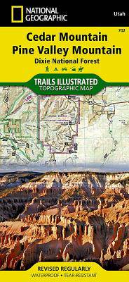
Cedar Mountain - Asdown Gorge /UT
- Cedar City is the headquarters of the Dixie National Forest which is a two-million-acre, 170-mile stretch of breathtaking wilderness across southern U... Savoir plus
15,95 €Livraison 1 à 2 semaines15,95 €Livraison 1 à 2 semaines -
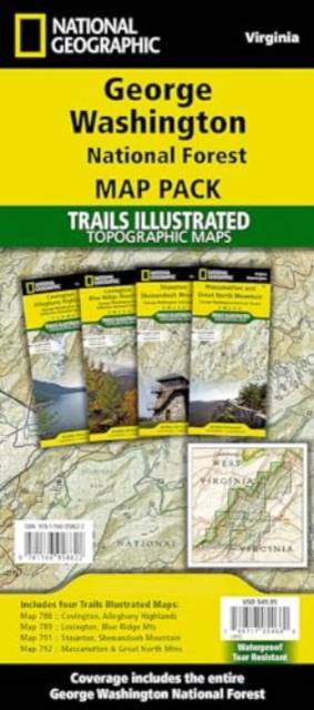
George Washington Nat. Forest Map Pack /VA
- Explore the natural beauty, historical sites, and many recreation opportunities available in southern Virginia with National Geographic's Trails Illus... Savoir plus
49,95 €Livraison 1 à 2 semaines49,95 €Livraison 1 à 2 semaines -

Aspen / Independence Pass /CO
- National Geographic's Trails Illustrated map of Aspen and Independence Pass delivers unmatched detail and valuable information to assist you in your e... Savoir plus
15,95 €Livraison 1 à 2 semaines15,95 €Livraison 1 à 2 semaines -
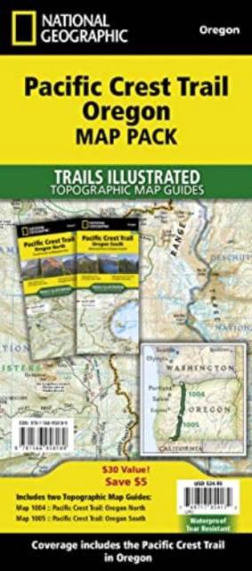
Pacific Crest Trail: Oregon [Map Pack Bundle]
- - Waterproof - Tear-Resistant - Topographic Maps The Pacific Crest Trail (PCT) Map Pack Bundle of Oregon includes two Topographic Map Guides that cove... Savoir plus
34,95 €Livraison 1 à 2 semaines34,95 €Livraison 1 à 2 semaines -
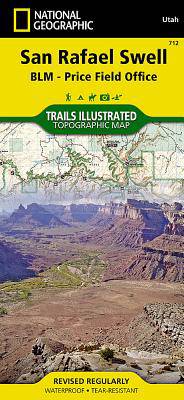
San Rafael Swell Map [Blm - Price Field Office]
- - Waterproof - Tear-Resistant - Topographic Map The San Rafael Swell is a dramatic landscape of slot canyons, pinnacles, mesas, and arches carved over... Savoir plus
21,95 €Livraison 1 à 4 semaines21,95 €Livraison 1 à 4 semaines -

Apache Creek, Juniper Mesa /AZ
- Outdoor enthusiasts adventuring through the northern half of Prescott National Forest will find National Geographic's Trails Illustrated map of Apache... Savoir plus
15,95 €Livraison 1 à 2 semaines15,95 €Livraison 1 à 2 semaines -
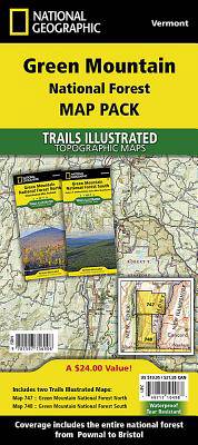
Green Mountain National Forest [Map Pack Bundle]
- - Waterproof - Tear-Resistant - Topographic Maps The Green Mountain National Forest Map Pack Bundle is the perfect companion to anyone planning a trip... Savoir plus
34,95 €Livraison 1 à 2 semaines34,95 €Livraison 1 à 2 semaines -
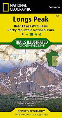
Longs Peak / Bear Lake / Wild Basin / Rocky Mountain NP /CO
- Towering over the Rocky Mountains stands the 14,259 foot high Longs Peak. National Geographic's Trails Illustrated map of Longs Peak and the surroundi... Savoir plus
13,50 €Livraison 1 à 2 semaines13,50 €Livraison 1 à 2 semaines -
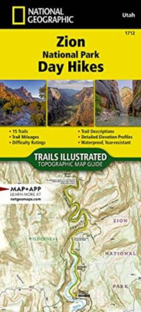
Zion National Park Day Hikes Map
- - Waterproof - Tear-Resistant - Topographic Map Zion was officially established as a national park in 1919. One of only two scenic rivers in Utah runs... Savoir plus
20,95 €Livraison 1 à 2 semaines20,95 €Livraison 1 à 2 semaines -
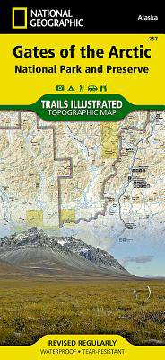
Gates of the Arctic /AK
- Let National Geographic's Trails Illustrated map for Gates of the Arctic National Park and Preserve guide you on your adventure in this remote wildern... Savoir plus
15,95 €Livraison 1 à 2 semaines15,95 €Livraison 1 à 2 semaines -
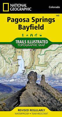
Pagosa Springs, Bayfield Map
- - Waterproof - Tear-Resistant - Topographic Map National Geographic's Trails Illustrated map of Pagosa Springs and Bayfield provides unparalleled deta... Savoir plus
21,95 €Livraison 1 à 4 semaines21,95 €Livraison 1 à 4 semaines -
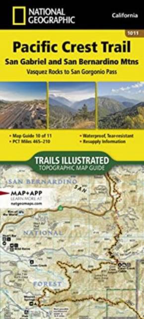
Pacific Crest Trail: San Gabriel and San Bernardino Mountains Map [Vasquez Rocks to San Gorgonio Pass]
- - Waterproof - Tear-Resistant - Topographic Map The Pacific Crest Trail (PCT) in this part of southern California travels through the scrub-covered Si... Savoir plus
20,95 €Livraison 1 à 2 semaines20,95 €Livraison 1 à 2 semaines